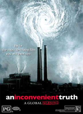
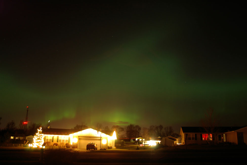
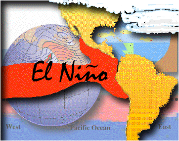
Over the weekend, a friend of mine and I sat down to watch "An Inconvenient Truth," the documentary by Al Gore on global warming. He said that I needed to watch it so I could debunk the theories that were proclaimed in the movie. It made sense to me...If you're watching a documentary on global warming, it's probably good to have a Meteorologist on hand.
I had control of the remote control (in order to press the pause button at a moment's notice if I saw something that I didn't think was true).
I fould the movie to be pretty self-explanatory (although I don't really know how the 2000 election debacle had anything to do with global warming). One of the big criticisms I have of the movie is the fact that almost every graph has a title on the x-axis (along the bottom) but not on the y-axis (on the left side). For instance, many of the graphs showed temperature trends. As temperatures increase the line steadily moves up. However, the left side of the graph isn't labeled...so it's up to your interpretation as to the significance of the warmth.
Speaking of warmth, I decided to go back and look at the data for Rockford, Illinois temperatures! Take a look at the average temperature (in Fahrenheit) for the past several decades.
2000-2006: 49.15°
1990-1999: 48.48°
1980-1989: 48.04°
1970-1979: 47.61°
1960-1969: 47.48°
1950-1959: 48.43°
1940-1949: 49.57° (years 1946 and 1948 were missing data and thus not averaged)
1930-1939: 50.20°
1920-1929: 44.17°
1910-1919: 47.87°
1906-1909: 48.75°
It is a fact that we've seen increased warming since the 1950s. However, our warmest years on record in Rockford were in 1921 and 1931 when the year's average temperature was 52.8°. It remains to be seen whether or not we'll eclipse those records, but if you look at the trend it seems possible within the next decade.
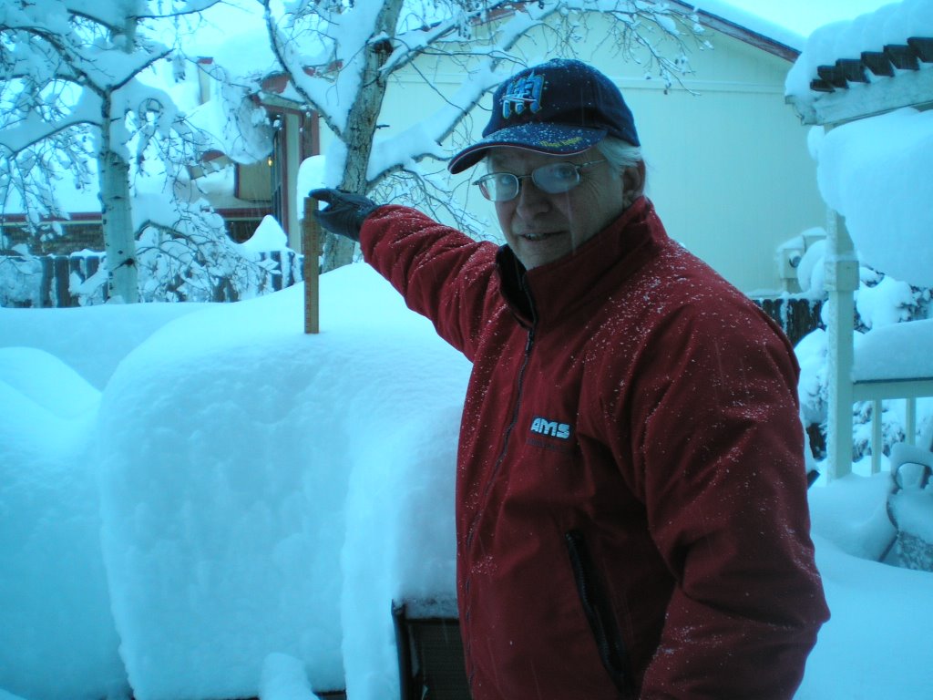
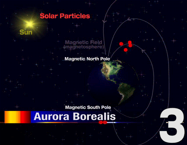
I apologize for the tangent...Now back to the movie! There was a chapter that dealt with the vast areas of the Antartic Ice Shelf calving off into the ocean. While there has been a major melting of the ice caps in Antartica, (I don't think anyone can deny that) the documentary didn't tell us how much
snowfall is accumulating each year...it only pointed out how much ice has left the continent.
So, after watching the two hour documentary I pushed the pause button twice. I was actually quite surprised at all of the things that I could agree with. I am proud to admit I am highly skeptical of Al Gore (Didn't he invent the internet?). And to be fair, I am highly skeptical about almost everything. But we need to find the bottom line...or the point to this way-too-long-blog-entry.
We can't forget that the Upper Midwest was underneath a thousand feet of ice 13,000 years ago. When those glaciers began to melt, we could have said that global warming officially began. We know the earth's atmosphere is changing...and warming up. To what extent humans are altering this change is up for debate, but it seems to be taking place.
One thing I've been arguing is: "Instead of spending $320Billion dollars fighting a war with Iraq, we should have invested the money in an infrastructure that promotes hydrogen fuel-cell cars. If we didn't have a dependence on foreign oil, the crazies over there wouldn't have a pot to .... in and the U.S. wouldn't be adding millions of pounds of pollutants to the atmosphere each second."
Just my personal thought.
Eric Sorensen
Chief Meteorologist
WREX-TV

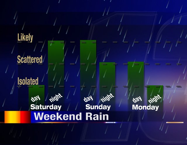
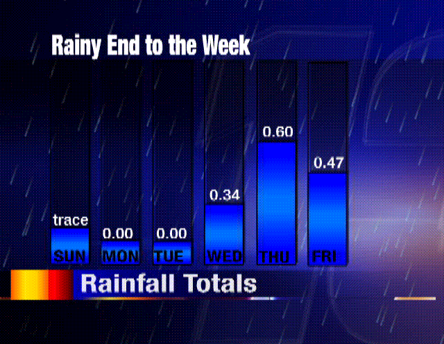
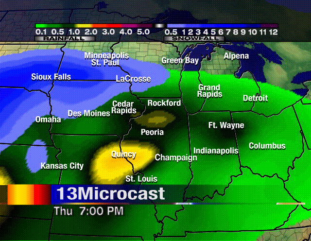
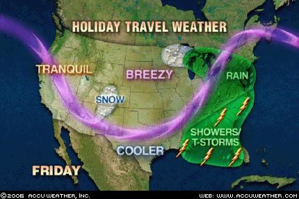
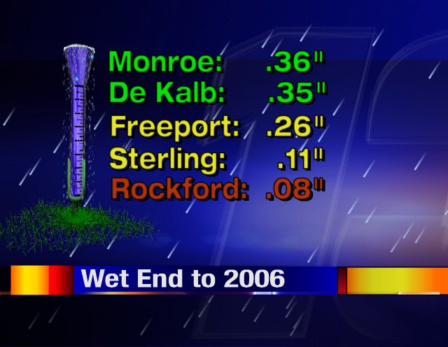 The big rainmaker that was moving towards us this weekend, ended up splitting in half. The heaviest precipitation fell to the northwest and southeast of us. Minneapolis saw some decent snow, while Indianapolis dealt with thunderstorms. We still saw a dreary and damp finish to 2006. December 31st rainfall totals are at left.
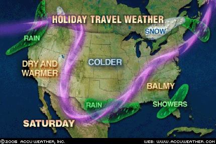